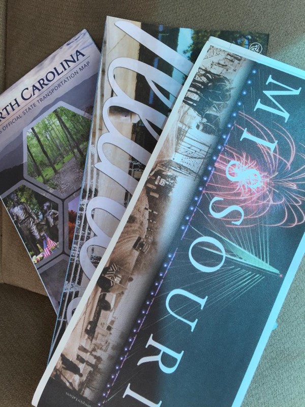
Traveling from the center to the country to the coast, this week, I visited a number of states and rest areas. Luckily, the rest areas provided highway maps for the states they were in.
For years, I have loved maps. I grew up in an age before smart phones, before GPS, and certainly before talking computers who told you when to turn. So, even today, when I see a map made available, I try to pick it up. Often I compare the computer map to my own plotted route.
When I was younger, I travelled back and forth to Kentucky for Seminary and for my Army National Guard assignment. During that time, I enjoyed pulling out the Kentucky map and figuring out different ways to travel home without losing too much time. During that time, I was able to explore many different places in the mountains of Kentucky and also gained a deep appreciation for maps and navigating from a map.
Driving with a map will take you away from the Interstate Highways into the state itself. Obviously, most Interstate Highways are very similar. They are lined with trees so the locals do not hear them or abandoned from any life at all. The only life you will see are the rest areas and gas stations that are made available as you exit the highway. Using a map will take you away from these highways into the towns and scenery known to the residents. A simple journey can turn into a grand adventure, if you let it.
So even today, I pick up an updated map when I travel. Sometimes I pick it up for emergencies. Sometimes I pick it up to verify or examine the route. And sometimes I pick them up to go on a grand adventure.